
Leg 2 Howtown to Mardale Head
Leg 2 Howtown to Mardale Head
8.3 miles. 2421 feet up. 2152 feet down.
This is where it starts to get a bit more serious. The route follows Fusedale Beckand rises, relatively gently and then more steeply .
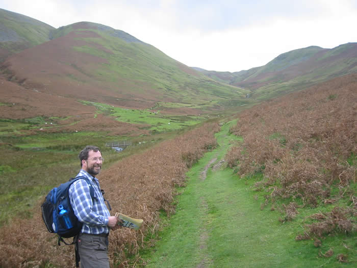
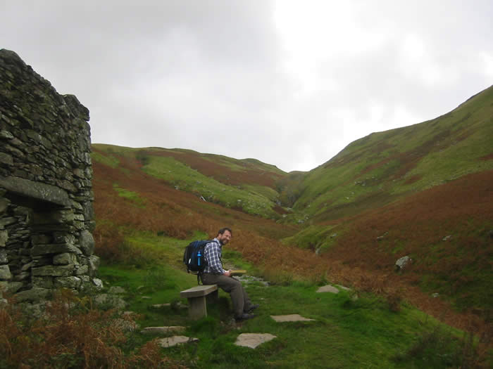
Near the top there's a wall corner and the routebook tells you to take an obvious track left and then fork right after 70M. Suffice it to say that it was not all that obvious and the 70M is a bit of an estimate.
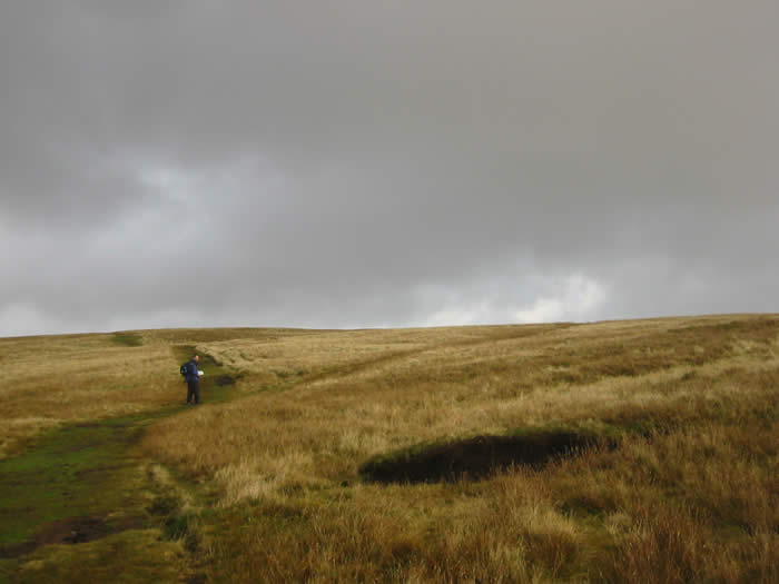
Next you have to look out for a stick and a stone. These are not entirely obvious in the middle of a peat hag but we found them (more by accident than good navigation).
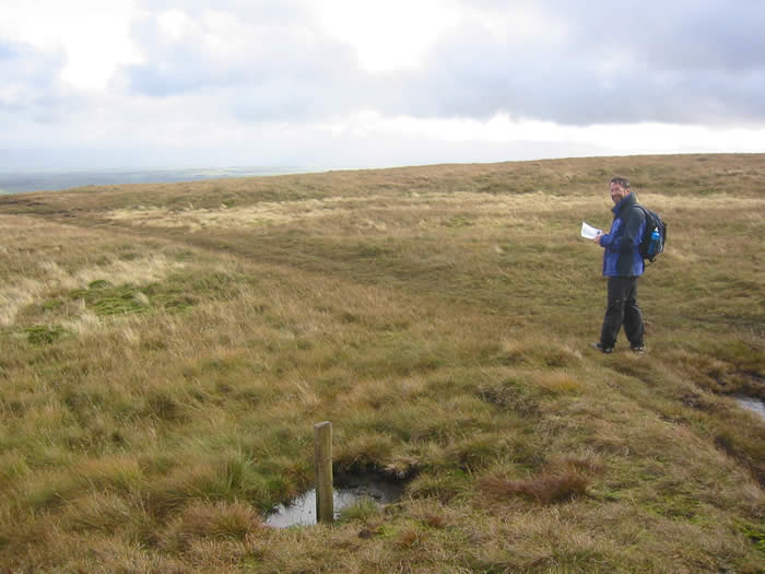
The stick
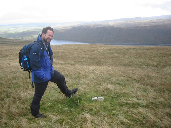
The stone
After that there more bog but quite gentle, followed by a steep descent through bracken with no well defined path (at least not one we could find) to a wooden bridge at Fordingdale Bottom
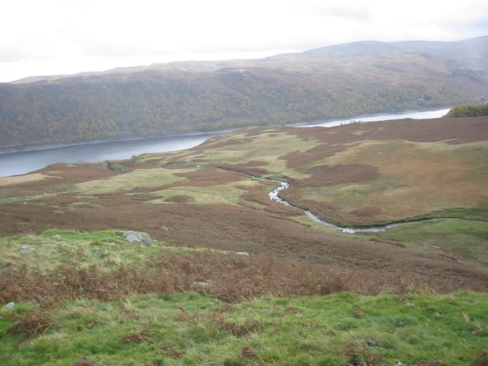
Looking down to the wooden bridge at Fordingdale Bottom. No path apparent and the bracken will be much more of an obstacle in July.
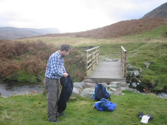
At the bridge
Then you cross the bridge and go down the the path along the edge of Haweswater. Some quite tricky bits here. No pix as your photographer was using both hands.
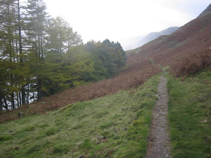
Aha you think. It will be flat and easy here as the path follows a lake. But no. The good path was flooded when they made Haweswater into a reservoir and this one clings to the steep banks and is not easy going in some places. It is also a good place to have a stream if it is raining.
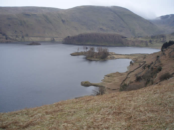
So it is with great relief that you reach checkpoint 2 in the car park at Mardale Head.
The contents of this site are © Hardley Runners unless otherwise stated.
Last updated 7-Dec-2024.
Contact the webmaster if you have any problems or want to reproduce any material.